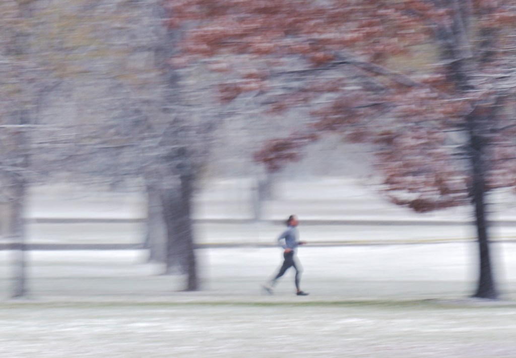
A hit-and-miss snowstorm dropped a few inches of snow on parts of the Front Range Wednesday, but Denver’s skies are expected to clear for a sunny Thanksgiving Day.
The storm unleashed on the mountains — with the high country receiving between 15 and 30 inches by Wednesday afternoon — but the Denver metro saw much less snowfall overall, though bands of heavier snow did drop up to six inches in some spots.
“That’s exactly what we had anticipated and what we forecasted,” said Boulder National Weather Service meteorologist Kenley Bonner. “You can never really know where the bands are going to set up in this situation.”
The biggest concern Thursday is icy roads in the pre-dawn hours, and drivers should take care in slick conditions. But the snowstorm is over, she said.
On Wednesday, Boulder and Estes Park saw some of the heavier Front Range snow, with Boulder receiving about six inches and Estes Park seeing between six and eight inches of snow. Denver saw between .5 and 1.5 inches of snow across the city.
The snowfall may have slightly underperformed forecasts because it was warmer for longer than expected on Tuesday night, Bonner said. That shortened the window for snow to stick.
The snow was nevertheless enough to delay more than 500 flights at Denver International Airport during a busy holiday travel day, though the average delay was less than 15 minutes, according to the Federal Aviation Administration.
